
Effective land management is essential for sustainable development and environmental conservation. As our global population grows and cities expand, we need advanced solutions to manage land efficiently. Aerial mapping technology offers a powerful way to monitor, analyze, and address issues related to land erosion and management. Using drones, satellites, and other aerial systems, this technology provides detailed and accurate data, helping us make better decisions about land use and conservation.
Aerial mapping not only allows us to observe large areas quickly but also provides insights often unavailable through ground-based methods. By exploring the basics of this aerial mapping, we can understand how tools like drones and satellites collect and process data for land management. This includes its practical applications in fields such as agriculture, urban planning, and resource conservation. We will also discuss how this technology helps fight soil erosion by identifying at-risk areas and taking preventive measures.
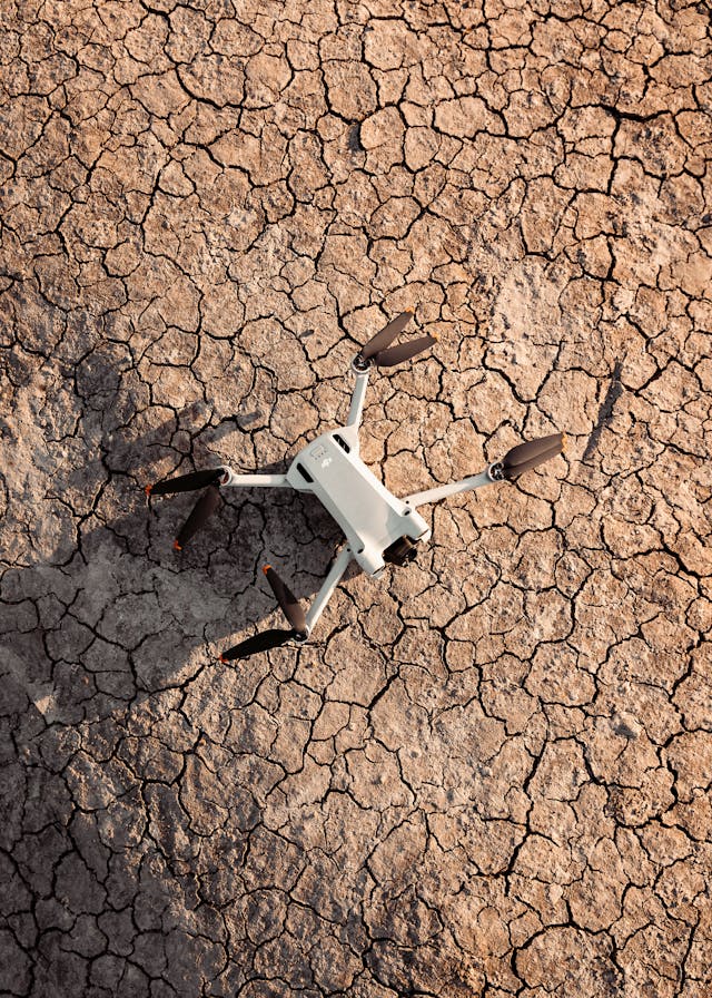
Aerial Mapping Technology
Aerial mapping technology uses various tools to capture detailed images and data from above. The main technologies are drones and satellites, each with distinct advantages. Drones, equipped with advanced cameras, can fly at low altitudes to capture high-resolution images for precise data collection. Satellites, meanwhile, cover large areas, providing broad overviews and tracking changes over time.
These systems take numerous photos or sensor readings, which advanced software then processes into detailed maps. These maps are key for land management, offering insights into topography, vegetation health, and infrastructure. This data helps make informed decisions in agriculture, urban planning, forestry, and conservation, promoting effective and sustainable land use.
Applications of Aerial Mapping in Land Management
Aerial mapping is used in many land management tasks, offering valuable insights beyond what traditional methods provide. In agriculture, it helps farmers with precision farming by giving them data on crop health, soil conditions, and irrigation needs, leading to better yields. Urban development also benefits greatly, as planners use aerial maps to design sustainable cities, manage zoning, and monitor construction progress.
In forestry, this technology is used to check tree health, forest density, and the effects of deforestation, aiding in conservation efforts. For natural resource conservation, aerial mapping helps monitor habitats, track wildlife, and assess environmental changes over time.
Erosion Prevention through Aerial Mapping
To address soil erosion, aerial mapping has become a key tool. This technology lets us accurately detect and monitor erosion-prone areas from above. By using drones and satellite images, land managers can collect detailed information about the landscape, vegetation, and soil conditions. This data helps pinpoint areas most at risk, allowing for timely interventions.
Advanced software then creates detailed maps that highlight erosion hotspots. These maps guide actions like reforestation or terracing to stabilize the soil. Drones can quickly cover large areas, while satellite imagery provides ongoing long-term monitoring. Overall, aerial mapping greatly improves our ability to manage soil erosion effectively and sustainably.
Benefits of Using Aerial Mapping for Land Management
Using aerial mapping for land management offers several clear advantages. One key benefit is cost savings; traditional surveying methods need a lot of manpower and resources, while aerial mapping can cover large areas quickly and efficiently. This technology also provides highly accurate data, capturing fine details from different altitudes.
With real-time monitoring, aerial mapping can immediately spot and address land issues, from crop health to infrastructure stability. Better decision-making comes from the detailed and precise data, leading to more informed choices about land use, conservation, and urban planning. Overall, aerial mapping is a valuable tool in modern land management, combining cost-effective practices with advanced data insights.
Challenges and Future Prospects
Using and expanding aerial mapping technology faces some big challenges. A major issue is the high initial cost, as advanced drones and satellite systems require significant investment. Integrating these technologies into existing land management practices can also be tough, often needing technical skills that aren’t always available. Regulatory restrictions can further limit drone flights and data collection in certain areas.
Despite these challenges, the future of aerial mapping looks promising. Innovations like AI data analysis, more affordable drones, and better satellite imaging are set to transform the field. These advancements could lead to more effective land management and better erosion prevention. Different viewpoints exist: some see reduced costs and wider accessibility, while others raise ethical and privacy concerns that need to be addressed.
The integration of aerial mapping technology is transforming land management practices, offering innovative solutions to meet the demands of sustainable development and conservation. By leveraging drones and satellites, this technology provides invaluable data that enhances our understanding of land use, agriculture, and environmental impact. Aerial mapping not only improves efficiency and accuracy but also enables proactive measures against soil erosion and habitat loss. As advancements continue, addressing challenges such as cost and regulatory hurdles will be essential. Ultimately, embracing aerial mapping paves the way for smarter, more sustainable land management strategies that benefit both the environment and society.
Interesting Related Article: “Harvesting Climate-Smart Soybeans to Combat Greenhouse Emissions“