What is GPS (Global Positioning System)? How does it work?
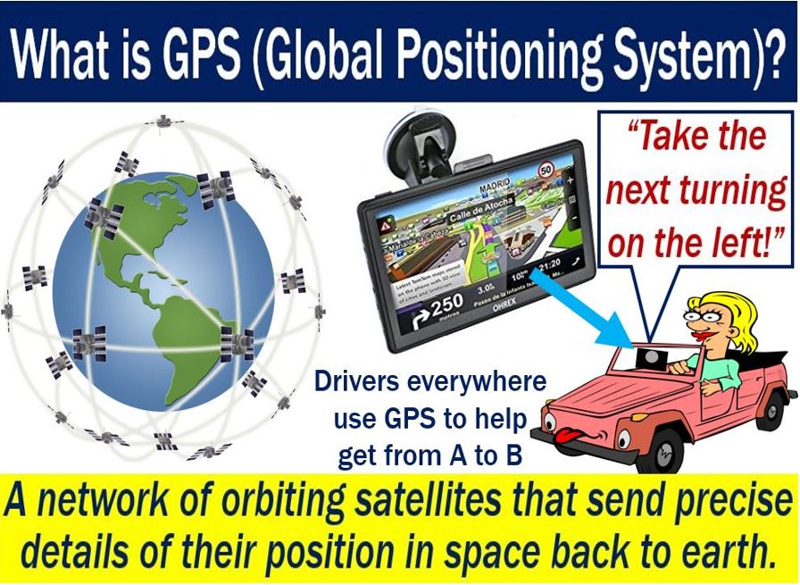
GPS stands for Global Positioning System. It is a network of satellites that orbit the Earth and send precise signals regarding their position in space. Global Positioning System receivers, such as navigation devices, pick up the signals. We use the GPS receivers to calculate the exact position, speed, and time of, for example, a vehicle’s location.
The thirty-one satellites are at an altitude of 20,200 km (12,550 miles). Thanks to these satellites, we can locate virtually any point on Earth. We can locate a point by measuring how far it is from a group of these satellites.
The United States says that it maintains the availability of 24 or more operational GPS satellites 95% of the time.
The armed forces use the Global Positioning System extensively. The United States first developed the system during the height of the Cold War. The country used it to aid in its global intelligence efforts.
GPS forms part of today’s telecommunications systems. Telecommunications (telecom) means communicating at a distance.
According to GPS.GOV (US Government):
“The Global Positioning System (GPS) is a U.S.-owned utility that provides users with positioning, navigation, and timing (PNT) services.”
“This system consists of three segments: the space segment, the control segment, and the user segment. The U.S. Air Force develops, maintains, and operates the space and control segments.”
GPS is freely available
Today, the Global Positioning System is available to anybody who has a receiver. In fact, the system has been freely available since the early 1980s.
Hundreds of different types of businesses and the armed forces today use GPS to track ships, vehicles, missiles, tanks, etc.
People also use the system for personal reasons. Drivers, for example, use the Global Positioning System to follow the best route to get them to a destination.
GPS – short history
The United States first developed GPS in the 1960s. People used it initially to allow US Navy vessels to navigate the oceans with greater accuracy.
At first, the system only had five satellites. Sea vessels could check their locations just once every hour.
Since then, we have added many more satellites to the system.
Drivers with portable navigation devices can know what their precise locations are to within a few meters. A few meters, in fact, is enough to navigate our roadways.
Military applications are significantly more precise than civilian applications. State-of-the-art military devices can pinpoint the location of something to within a few centimeters.
A guided missile, for example, needs to hit its target accurately for two main reasons. First, because whoever is firing wants a successful hit. Second, accurate missiles are less likely to kill people unintentionally or cause unwanted destruction, i.e., there is less collateral damage.
Video – How does GPS work?
This SciBRIGHT video explains what the Global Positioning System is. Today, it plays a very important role in our lives.